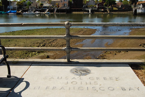
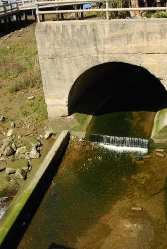
One nice side effect of getting around on foot or by bike instead of in a car is that you notice and discover things that you would not have seen if you had cruised by at 30 miles an hour in a box of glass and steel. For example, if I hadn’t been on a bike, I never would have stopped at the little park next to the Fruitvale Avenue bridge between Oakland and Alameda the other day, and discovered the mouth of Sausal Creek:
***
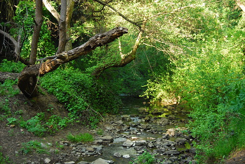
Sausal Creek is formed above Dimond Canyon near Montclair, where two tributaries merge before meandering from the hills down to San Francisco Bay. What’s notable about Sausal Creek, compared to most creeks that drain rainwater through Oakland to the bay, is that it retains a lot of its natural beauty as it flows through urban neighborhoods. The section between Highway 13 and Dimond Park is mostly unencumbered by concrete.
***
Nature lovers and dog walkers who live in surrounding neighborhoods like Dimond and Glenview take advantage the paths and trails that surround the creek, but even some people who live close by don’t realize that they can find a secluded setting like Dimond Canyon without going all the way up to the parks in the hills such as Redwood or Joaquin Miller. The entrances to the area tend to be tucked away on side streets such as El Centro or Bridgeview Terrace, so unless you live nearby or someone tells you about the miles of paths and trails, you might have no idea that they were there at all.
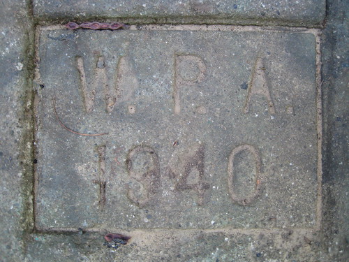
Even the evidence of human intervention that you do find when you’re walking in that section of Sausal Creek tends to be historical and picturesque. A concrete wall that supports the bank of the creek at one point, for instance, bears WPA stamps from 1939 and 1940.
Leimert Bridge, a graceful arch which passes high above the canyon, is a 1926 landmark which once carried streetcars from upper Park Boulevard to the Oakmore neighborhood.
I knew that Sausal Creek must emerge somewhere along the waterfront, but I never would have thought to look for it. I had also assumed that between Dimond Park and the bay, the creek ran entirely through culverts beneath the surface, but in fact that’s not the case at all. The Oakland Museum, in addition to having some nice maps showing the contemporary and historical routes of the creek, also has an interactive photo gallery embedded in a Google map which has images from points along the creek as it makes its way through the flatlands down to its mouth. Contrary to what I thought, many sections of the creek run above ground, although they are nowhere near as picturesque or accessible as the section from the headwaters to Dimond Park.
I’ve previously recommended keeping your ears open as you move around the city—whether it be this city, or any other city. The same advice goes for your eyes too, because you never know what you might see if you’re paying attention.


2 Comments